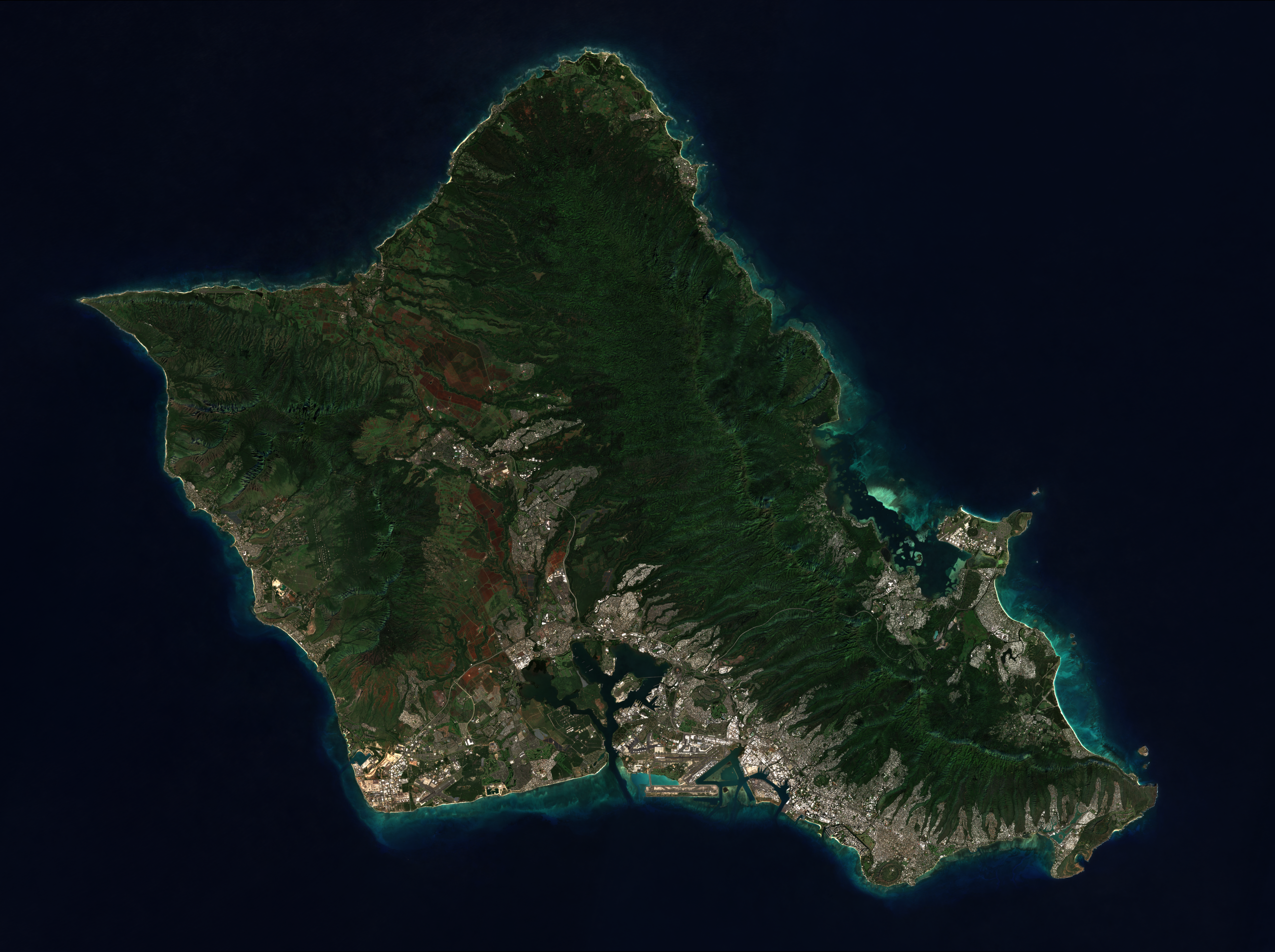
Choose which Hawaiian island to process data for

Drag and drop your geospatial file or shapefile folder here
Supported formats: .geoJSON, .zip (shapefiles), or a folder of shapefile components
Shapefiles must include: .shp, .dbf, .shx, .prj
Maximum file size: 800MB
Current File
Select a property to group features by, or leave as "All features"
Color Palette:
Colorblind-friendly colors, auto-assigned so bordering regions stay distinct
Name for this layer dataset
Detailed description of the layer content
Data source or attribution
Icon: *
Choose an icon to represent this layer
Supported icon formats: PNG, JPG, GIF, SVG
Process a layer in the previous steps to see its sublayers here.
Basemap